What This Page Covers
This page provides place-anchored context about Northport, Michigan, including its geographic position, seasonal variation, built environment characteristics, shoreline types, governance framework, and transportation structure.
Where It Is
Northport is located at the northern end of the Leelanau Peninsula in Leelanau County, within Leelanau Township. The Village of Northport sits along Grand Traverse Bay at the terminus of M-22. ZIP code 49670.
Primary village streets include Mill Street, Nagonaba Street, Shabwasung Street, and Waukazoo Street.
Nagonaba Street marks a shift in lot dimensions:
- South of Nagonaba, commonly referred to as “Waukazooville,” with typical 66 by 132 foot lots
- North of Nagonaba, with typical 50 by 100 foot village lots
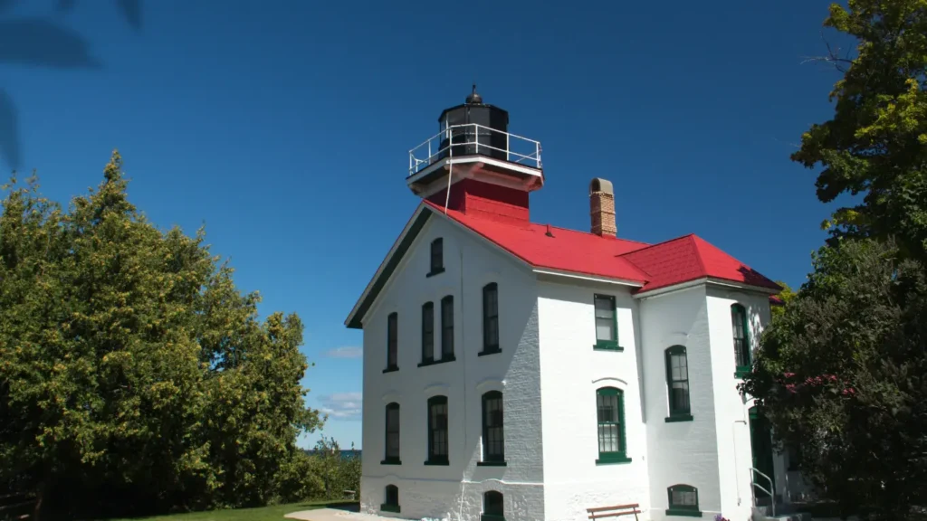
Nearby geographic features include Leelanau State Park, the Grand Traverse Lighthouse, Peterson Park, Christmas Cove, and Woolsey Memorial Airport.
M-22 ends within the village limits.
How the Place Works Over Time
Population levels increase during summer months and decrease during winter months.
Commercial operating hours may vary seasonally. Sidewalk and marina activity levels differ between peak and off-peak periods.
Lake-effect snowfall occurs during winter. Rural township roads and private roads may accumulate snow depending on weather conditions.
The village core remains active year-round at a reduced scale outside summer months.
Built Environment Snapshot
The Village of Northport includes early twentieth-century homes, smaller-lot residential streets, renovated historic residences, and modest cottages.
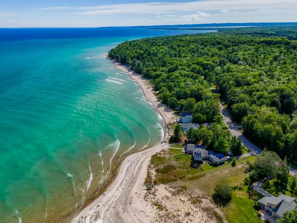
Outside the village core are established subdivisions, inland homes on private roads, acreage parcels within Leelanau Township, and waterfront parcels along Grand Traverse Bay and Lake Michigan.
Cherry Home Shores is a waterfront subdivision governed by recorded HOA documents that include rental duration provisions.
Architectural styles include traditional cottages and contemporary residential construction. Residential density decreases outside the village grid.
Access & Movement
Northport is located at the terminus of M-22.
Primary travel routes extend south toward Suttons Bay and Traverse City. Alternate arterial routes are limited.
Drive time to Traverse City is typically 35 to 40 minutes depending on weather and traffic conditions.
Winter road conditions may include snow accumulation associated with lake-effect weather systems.
Water & Shoreline Reality
Northport includes frontage on Grand Traverse Bay and, within township limits, portions of Lake Michigan.
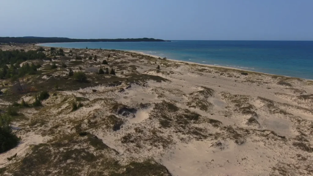
Documented shoreline types in the area include:
- Sandy bottom frontage with gradual entry
- Mixed shoreline with glacial stone
- Elevated blufffront along Lake Michigan
- Sheltered bay frontage
Shoreline elevation, bottom composition, and exposure vary by parcel.
West-facing parcels are oriented toward sunset.
Northport Bay is addressed separately in its own waterfront reference page.
Parks, Trails, Natural Areas
Leelanau State Park
State park at the northern tip of the peninsula with public beach access, wooded trails, and the Grand Traverse Lighthouse.
Peterson Park
Township park with Lake Michigan shoreline access and wooded terrain.
Kehl Lake Natural Area
Conservancy-managed preserve with inland lake access and hiking trails.
Additional small village parks and marina access points are located within the village grid.
Governance & Constraints
Northport includes both the Village of Northport and Leelanau Township.
Short-term rental activity requires permitting and is regulated differently between the Village and Township. Subdivision-level HOA documents may impose additional use restrictions.
Shoreline development is subject to township zoning and applicable state and county environmental regulations.
Road maintenance varies between village streets, township roads, and private roads.
Related Reference Pages
Cathead Bay
Northport Bay
Omena
Suttons Bay
Leelanau Township
Grand Traverse Bay