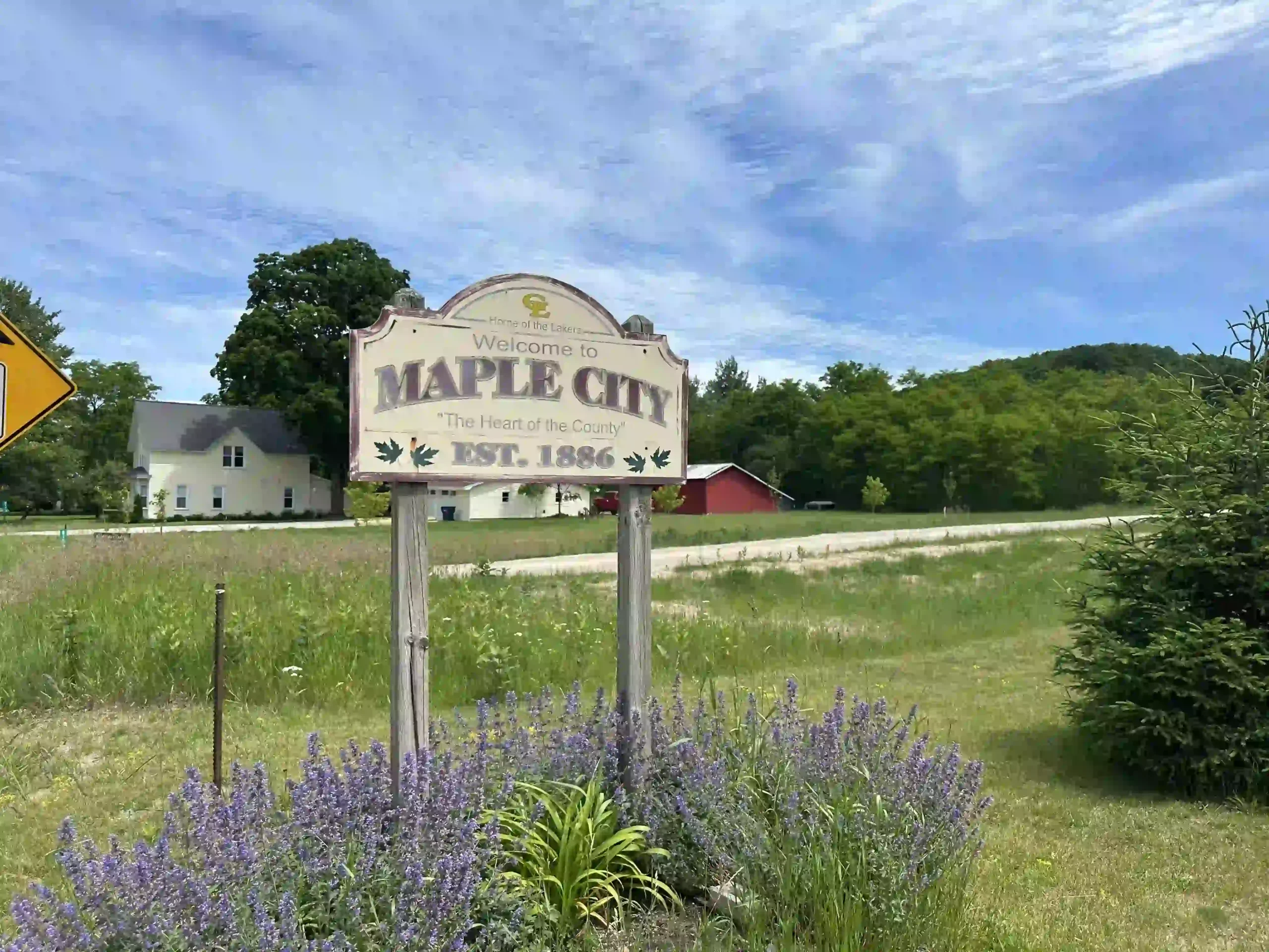
About Maple City, MI
Maple City is an unincorporated community located in Kasson Township in Leelanau County, Michigan.
The area is characterized by agricultural land, wooded acreage, low-density residential parcels, and minimal commercial development.
The settlement pattern follows rural road corridors rather than a centralized village grid. Development is dispersed, with homes positioned along South Maple City Road, West Burdickville Road, and connecting county roads.
Where Maple City Is Located
Geographic Identifiers
County: Leelanau County
Township: Kasson Township
ZIP Code: 49664
Region: Western Leelanau Peninsula
Maple City is positioned east of Glen Arbor and north of Empire.
Primary road references include:
- South Maple City Road
- West Burdickville Road
- Access to M-72 (east–west corridor)
The community sits inland from Lake Michigan and outside incorporated shoreline villages.
Landform and Environmental Structure
Maple City is situated within a glacial landscape of rolling farmland, forested tracts, wetland pockets, and mixed-use acreage.
The terrain includes gradual elevation changes and agricultural flats transitioning into wooded parcels.
Maple City is not organized around a waterfront basin or shoreline grid.
Development Pattern
Maple City does not have an incorporated downtown or commercial center.
Residential development consists primarily of:
- Single-family homes on acreage
- Converted seasonal cottages
- Farmhouses and agricultural residences
- Newer custom homes on larger parcels
Subdivisions are limited. Zoning patterns favor lower-density development.
Parcel sizes commonly range from one acre to multi-acre agricultural holdings.
Real Estate Structure
Housing stock reflects rural land use rather than shoreline concentration.
Direct Lake Michigan frontage within Maple City is limited. Shoreline access occurs through neighboring communities and designated public access points outside the Maple City area.
Short-term rental regulations are governed by Kasson Township ordinances and any applicable homeowners association restrictions.
Infrastructure and Utilities
Maple City is served primarily by rural infrastructure systems.
Many properties utilize:
- Private wells
- Septic systems
- Long private driveways
Internet service availability varies by parcel and provider.
Road maintenance and snow removal are managed by township and county authorities.
Transportation Structure
Daily transportation is vehicle-dependent.
Road corridors provide regional connections to Glen Arbor, Empire, and Traverse City.
Seasonal traffic increases occur along regional roadways.
Public Land and Regional Context
Maple City is positioned near:
- Sleeping Bear Dunes National Lakeshore
- Little Traverse Lake
- Crystal River corridor
- Lake Michigan shoreline access through Glen Arbor and Empire
Portions of the broader Maple City area are adjacent to public land holdings.
Schools Serving Maple City
Maple City is served by Glen Lake Community Schools.
School district boundaries vary by parcel location.
Living in Maple City Over Time
Maple City functions as an inland rural and agricultural area within western Leelanau County.
The area consists of agricultural land use, low-density residential parcels, dispersed settlement patterns, and township-level governance.
The settlement framework consists of acreage parcels, dispersed residential patterns, and township governance.